01 / RETURN
Revisit a location
Look around from the original camera position and retrace what you saw in the field, even months later.
How far do the beds extend? Where does their dip change? How does a fault cut through the exposure? PanoViewer brings you back to the point where the panorama was captured.
An outcrop is more than a single photograph. Its structure is revealed through context: the relationships between bedding, fractures, faults and the wider landscape.
Look around from the original camera position and retrace what you saw in the field, even months later.
Zoom in to examine a feature, then pull back to see how it relates to the complete exposure.
Bring a colleague or classroom back to the site. Particularly useful for distant or changing exposures.
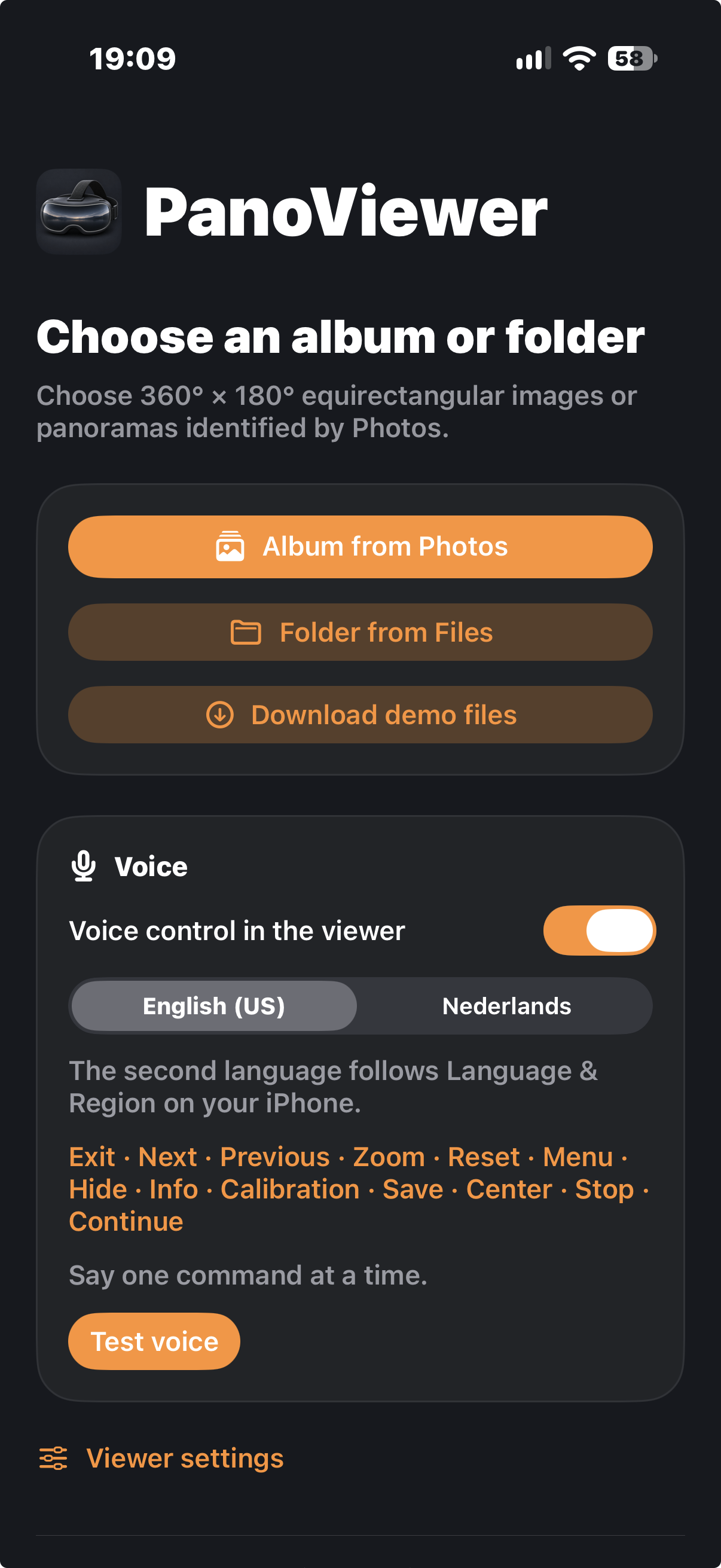
Select a Photos album or a folder in Files. Browse the image previews and decide where to begin. PanoViewer supports full 360° × 180° equirectangular images and panoramas identified by Photos.
A simple starting point keeps the focus on your field material, not on file management.
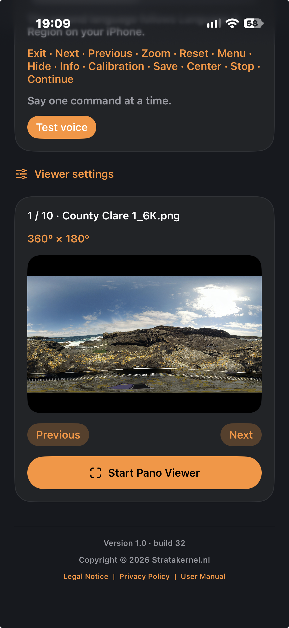
Browse your images one by one and check the preview before opening the viewer. A 360° × 180° panorama preserves the surroundings around the camera, from horizon to sky and ground.
Move between locations, compare geological structures and follow the evidence across an entire exposure.
Explore on your iPhone or place it in Google Cardboard or a compatible headset. In headset mode, motion tracking follows your head movements and calibration helps align the view to your lenses.
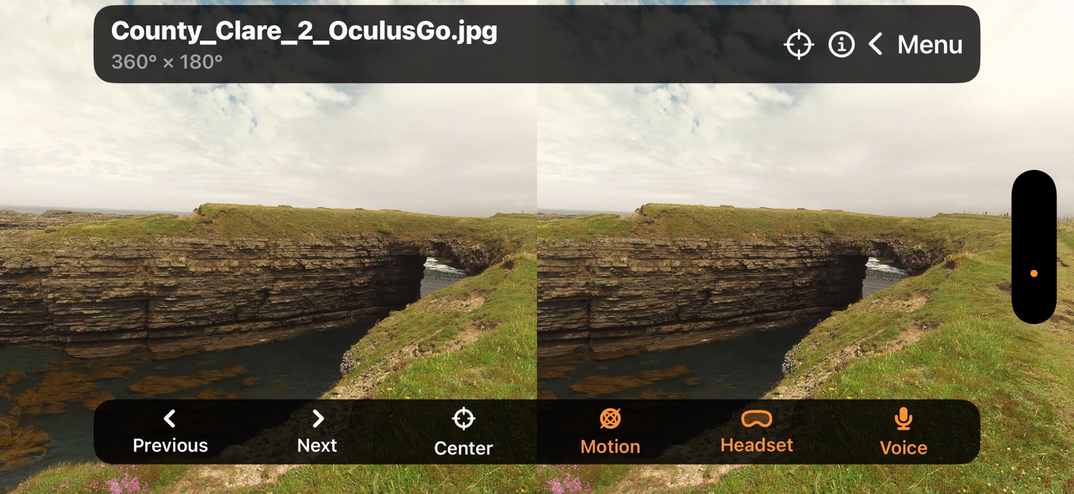
The two side-by-side views are intended for use through a compatible headset.
Pick the image you want to inspect from your album or folder.
Look around with headset motion tracking or navigate directly on screen.
Calibrate the headset alignment to better suit your lenses.
Keep your hands free while examining a geological feature. Say Next to move through the collection, Center to return the original viewpoint straight ahead, or Info to show image details.
Voice control is optional. English and supported local languages, including Dutch, are available. The actual command list is shown in the app.
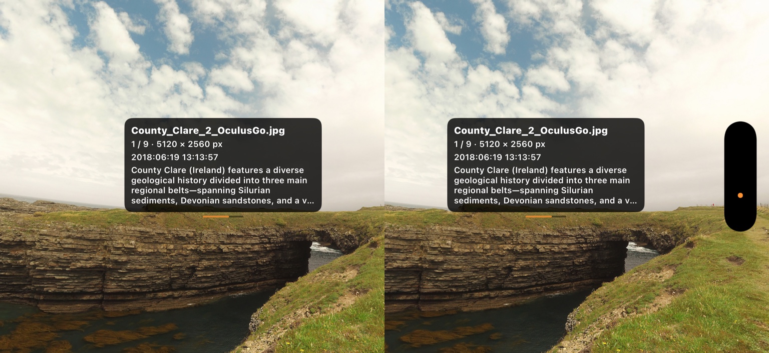
Ask for Info while immersed to bring up the image caption and available metadata. A capture date, image dimensions and GPS location can help reconstruct when and where the panorama was made.
The information overlay gives you context without permanently obscuring the landscape. Some details depend on what is stored with the original image.
The example shows a County Clare coastal exposure in Ireland. The metadata overlays are duplicated for both eyes in headset mode.
A changing quarry face. A coastal exposure that is difficult to reach. A lecture where students need to see how the rock units connect. PanoViewer lets you revisit the scene from the camera's position and explore it with others.
For field geologists, educators and students, the benefit is simple: preserve the spatial context of the visit and make it accessible after the work in the field is done.
Bring the field back with you. Explore full 360° × 180° panoramas and iPhone panoramas with zoom, headset motion tracking and optional voice control.
Paid app · One-time purchase. App Store link to be added when available.